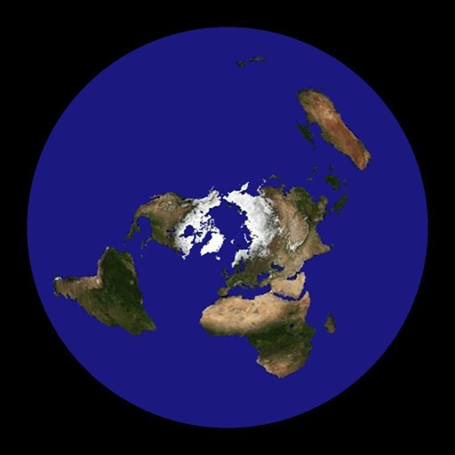
Not bad – Flat Earth - Satellite Image Viewer Review
This is a great tool for visualizing great circle distances and mapping relations between two points. My only complaint is that it is difficult to set latitude and longitude precisely. The program needs some provision for either manually entering coordinates, selecting a default city, or generating a map around the user's current location. This would dramatically increase its utility.
Review by Ryan Hardy on Flat Earth - Satellite Image Viewer.
Review by Ryan Hardy on Flat Earth - Satellite Image Viewer.