Traffic Stat - Road Alerts
| Category | Price | Seller | Device |
|---|---|---|---|
| Travel | Free | John Benson | iPhone, iPad, iPod |


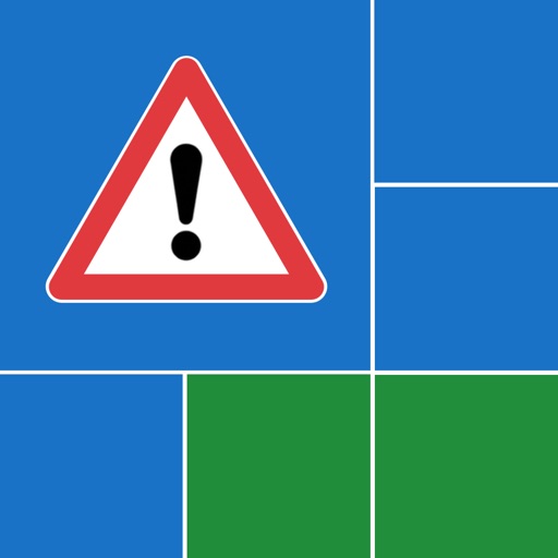
Clear colour coded tiles showing the key information, Road number, delay, type of incident and lanes closed and to get more details simply click a tile and you can read the full incident description, or why bother? press the speak button to have it read out to you!
Features:
-Incident relevance - Incidents that are within a 30 mile radius of your location will appear first.
-Spoken Descriptions - No need to do any reading get issues read out to you.
-Clear Tiles - Clear tiles show relevant information and icons for the type of incident.
-Call HA - Need to report an issue press the Call Highways Agency button.
-Today View - Details of the closest incidents to you will appear in the today view.
I hope you enjoy using this app, and that it becomes a useful tool in your every day life.
Information provided by the Highways Agency. Contains public sector information licensed under the Open Government Licence v2.0. For more information see http://www.nationalarchives.gov.uk/doc/open-government-licence/version/2/
"Continued use of GPS running in the background can dramatically decrease battery life."