Tap2Map - DJI Flight Planner
| Category | Price | Seller | Device |
|---|---|---|---|
| Utilities | Free | TAP2 MAP GROUP S.R.L | iPhone, iPad, iPod |

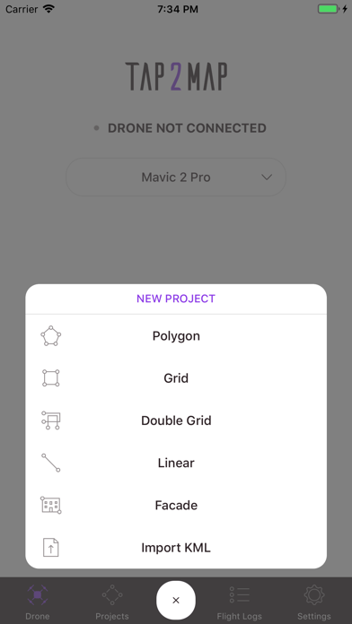
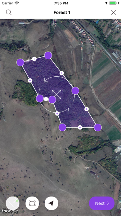
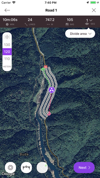
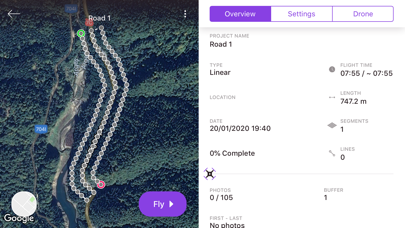
• MISSIONS: Polygon - Linear - Grid - Double Grid - Facade
• FEATURES: Import KML , Terrain Following...
On top of these possibilities are included, for instance:
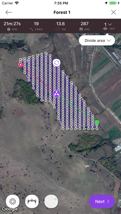
- Image triggering position: accurately calculated respectfully to overlaps needed (no time or distance interval).
- Divide Area according to battery endurance,
- Overlapping images between adjacent blocks,
- Linear flight: Set choice of section length (VLOS).
- Set corridor width,
- Accurate drone speed in m/s,
- Camera settings : Auto Mode or Manual Mode,
- Zenmuse X series camera: choice of available lenses,
- Record both DNG (RAW)+jpeg imagery,
- Set/change Camera gimbal tilt inflight,
- Visual Quality Checking (QC) of the imagery after landing,
- Real time counting and highlighting any missing images,
- Create Custom Sensor,
- Flightlogs
etc....
https://www.tap2map.app/terms-conditions