SEAiq USA IAP
| Category | Price | Seller | Device |
|---|---|---|---|
| Navigation | Free | Sakhalin, LLC | iPhone, iPad, iPod |


Other features include:
* Waypoints
* Routes
* Tracks
* Night color modes
* Anchor alarm
* Automatic download and display of weather (wind & isobar)
* Active Captain Interactive Cruising Guidebook
* Chart measuring tools (EBL/VRM)
* WiFi-based NMEA and AIS
* Raster charts
* Vector charts
No purchase is required in order to use SEAiq USA IAP to view charts. All features are enabled during a 7-day evaluation period. After that, many of the feautures require purchase of an in-app upgrade.
Continued use of GPS running in the background can dramatically decrease battery life.
Reviews
OUTSTANDING APP!!
Tomas P
Michael, Just downloaded the 7-day trial with Premium and absolutely amazed at how much great info it has even for us non boaters (currently). Keep up the GREAT app / updates / upgrades. Suggesting this app to my boating friends as we speak ;) Tom
Great Chart Access
OceanCruizer
Really happy with how easy it is to get the charts I need and keep them up to date. Such a great program! I'll be recommending it to the other boaters I know.
Amazing large screen GPS on the iPad
DFKipp
The SEAiq app was ideal for bringing a 21' Wharram catamaran sailboat home from the Florida keys to north of West Palm Beach, some 170 miles on the Intracoastal Waterway. Loaded for two men on a four day trip there is not much room on this sized boat for big paper charts. I downloaded the free NOAA charts for the Florida East Coast and the Keys (a one time event). Once the charts are on the iPad I did not need to connect to the Internet again. As you sail along the SEAiq app finds the next chart, matches the scale and displays it for you relatively seamlessly. We had some 30 bridges to negotiate so we used the waypoints to store bridge names, most often not available on the charts. We also stored bridge clearance height and bridge opening time schedule. This provided the information I needed to talk to a bridge tender when I needed to request an opening. We used the waypoints and route tool to get distance measurements to calculate our fuel consumption on the previous days motoring. Then on a windless morning in Biscayne Bay we used the same app tools to determine that we were too low on fuel to motor all the way to the fuel dock in Miami. We idled conserving fuel for a couple of hours until the wind returned then we sailed until we were close enough to motor the last little bit to the fuel dock. Our catamaran sailboat draws less than 2 feet of water. The SEAiq app let us customize the deep water, safe water and shallow water contours on the chart to match our boat making it easier to safely sail in close to the stilt houses in Biscayne Bay. We got some great close up pictures without going aground in shoals there. In the keys these contours helped use find protected areas well outside other boat traffic to drop anchor for the night. I have had a number of occasions to contact the developer and have found them responsive. I really like this app and am looking forward to some of the improvements they are working on. I was blown away with the improvement in the latest version that allowed for back up and sharing my routes and waypoints files by iTunes, Dropbox and email. It even let me overlay my routes on Google Earth so I could find photos and land mark information along my planned route. Great Stuff!
PeteEpete
petecie
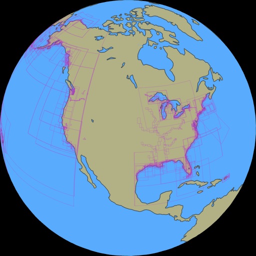
P O S. Can't do anything unless u pay for the upgrade.... And I mean nothing all it does is show u a pic of the globe
Why bother?
TheN4cer
Why bother creating a free version if it has zero features. No maps are available in the free version. Useless.
Great Software
SebastianSTL
I have downloaded and paid for a number of charting apps, but this one is going to be the best of all. The ease of chart handling is excellent. I am not bothered by the fact that the free version is limited to 1:50,000 or greater -- don't worry about some silly people never getting beyond the picture of the globe, oh boy. Also had excellent communication with the author. Rarely would you find a more friendly, knowledgeable and helpful person. Keep it going!
No active Captain in free version
Pete13763
I use Active Captain a lot. Read in there newsletter about this app. It may be a good product, but will not allow AC interface in free version
No help!
Scout 30
This is the worst app I have downloaded. It consistently fails to download charts selected, and displays multiple error messages. The app developer has not responded to multiple requests for help in resolving these issues. If you decide to try this app, GOOD LUCK. It is not worth the price at this point.
ActiveCaptain not really enabled...
WildIrishGirl
I was encouraged that this update "enabled" ActiveCaptain support, and sure enough, you can enter your login info and it will display the markers. However, you cannot get any of the info from the markers without paying for the upgrade. Deceptive... How is one to evaluate this software as an effective portal to ActiveCaptain just be seeing the markers, but not being able to see the contents?