
Rand McNally Road Atlas
The Rand McNally Road Atlas has been the ultimate road travel accessory for over 90 years, allowing for dependable navigation and travel planning across the country. With the Rand McNally Road Atlas app, you get all the high-quality maps you would receive in our legendary paper road atlas on a digitally enhanced version for both iPhone and iPad. This includes:
| Category | Price | Seller | Device |
|---|---|---|---|
| Travel | $9.99 | Rand McNally | iPhone, iPad, iPod |

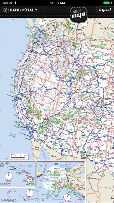


• Updated maps from the 2019 Road Atlas for all 50 states, including Canadian provinces, Mexico and Puerto Rico.
• No connectivity required after download.
• Detailed inset maps for large cities and national parks
• Pinch-and-zoom functionality
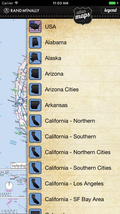
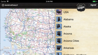
• Alphabetical drop-down list of all available maps
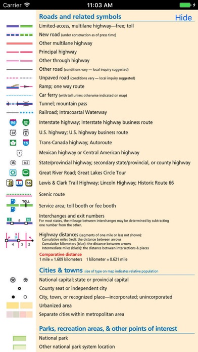
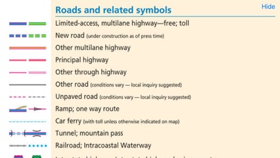
• Slide-out map legend for reference
As a bonus, two classic Rand McNally maps included at the end of the map list:
• 1883 Railroad Map featuring Chicago & Alton R.R.
• 1920 Railroad Map