OpenSky - App for Drone Flyers
| Category | Price | Seller | Device |
|---|---|---|---|
| Utilities | Free | Wing Aviation LLC | iPhone, iPad, iPod |


Features of OpenSky include:
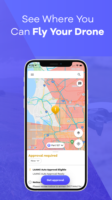
Guide for drone flying - Find out where and when you can and cannot fly.
Compliance maps from Aviation Authorities - OpenSky makes it easy to visualize airspace rules tailored to your operation and aircraft; for both commercial & recreational drone operators.
Identify Risks - OpenSky will help identify possible flight hazards in your area like Temporary Flight Restrictions (TFRs).
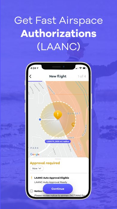
Airspace authorizations - Drone operators can automatically request authorization to fly in controlled airspace, often the busy airspace near major cities. In the United States this is called LAANC.
Track your missions - OpenSky will track and manage your past and upcoming flights, notify you of changes to any planned flights.
You can find out more about OpenSky at: www.wing.com/opensky.