onX Backcountry GPS Trail Maps
| Category | Price | Seller | Device |
|---|---|---|---|
| Navigation | Free | onXmaps, Inc. | iPhone, iPad, iPod |

onX Backcountry turns your phone into a fully functioning GPS navigation system and trail finder with location tracking. View public land boundaries, topographic maps, hiking and bike trails, recreation sites, and more.
FREE BACKCOUNTRY FEATURES
• No Ads
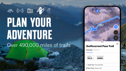
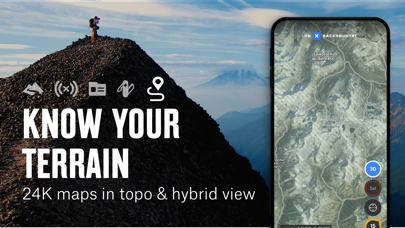
• See aerial view and 24k topographic maps.
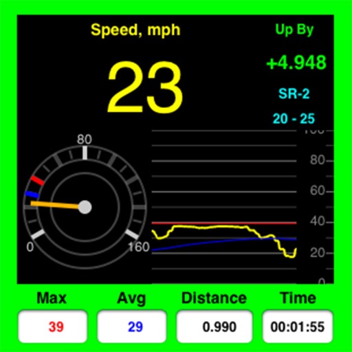
• Track the speed, distance, and duration of your route or hiking trail using the GPS Tracker.
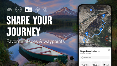
• Mark custom Waypoints at places you want to explore, share, or places you simply never want to forget.
• View localized weather with seven-day forecasts.
• Share your Waypoints and Tracks with friends to coordinate trips or share spots on your favorite hiking trails.
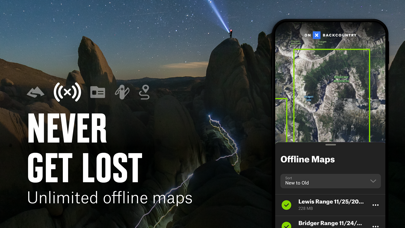
OFFLINE GPS NAVIGATION
Turn your phone into a powerful GPS navigation unit. Save Offline Maps for full access to your maps even when cell service is unavailable. Track your route and always know where you are on the map so you never go off trail. Cellular network coverage is not needed as our technology lets you save your customized maps directly to your device.
PROMOTIONAL TRIAL
While many onX Backcountry features are free, we are offering a 60-day free trial to all early subscribers. This trial lets you view and use the full suite of features throughout the initial 60-day trial period.
ONX BACKCOUNTRY MEMBERSHIP
With an onX Backcountry Membership, gaining a comprehensive understanding of the landscapes on which you recreate is simple. An onX Backcountry Membership costs $29.99 for the initial year and renews at $39.99/year. With a Membership, you’ll have access to all the free features with the additional benefits of:
• Public Land Boundaries - Stay on the right side of the line—and the law. See 985M+ acres of public land classified by agency, including US Forest Service, BLM, State Land, and more.
• Photo Waypoints - Upload photos to an unlimited number of Waypoints. Save memories, help your friends by sharing landmarks, or come up with your own ways of utilizing this feature.
• Offline Maps - Save unlimited Offline Maps to your device to access the maps you need when you’re outdoors and cell service is miles behind you.
• Trail finder and tracker - Map your next adventure by choosing from our industry-leading 650,000-mile network of trails or pick a featured Adventure to see detailed trail information.
• Guidebook content - Choose from 450,000 points of interest and over 54,000 campsites.
FEEDBACK
Having a problem or want to request new features? Please contact us at [email protected]
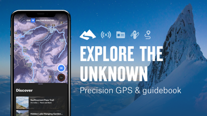
Explore the unknown with confidence using onX Backcountry, the all-in-one GPS navigation and guidebook app with over 650,000 miles of hiking and bike trails, 24K topographic maps, and carefully curated guidebook content with over 450,000 points of interest, and even more campsites to guide you on your next outdoor adventure. Built for lovers of outdoor activities, hiking enthusiasts, and professionals to experience the backcountry like never before, our tried and tested GPS maps ensure you know exactly where you stand even in the most remote locations across the country, without or without internet access. Turn your phone into the ultimate trail finder and tracker, map directory, outdoor trip planner, and GPS navigation system. Share markups with friends, see localized weather scans, discover secluded campsites, and track over 985 million acres of public land with precision.