OHV Trail Map California
| Category | Price | Seller | Device |
|---|---|---|---|
| Navigation | Free | Friends of Jawbone | iPhone, iPad, iPod |

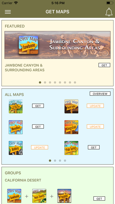
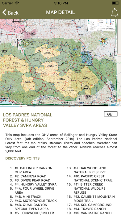
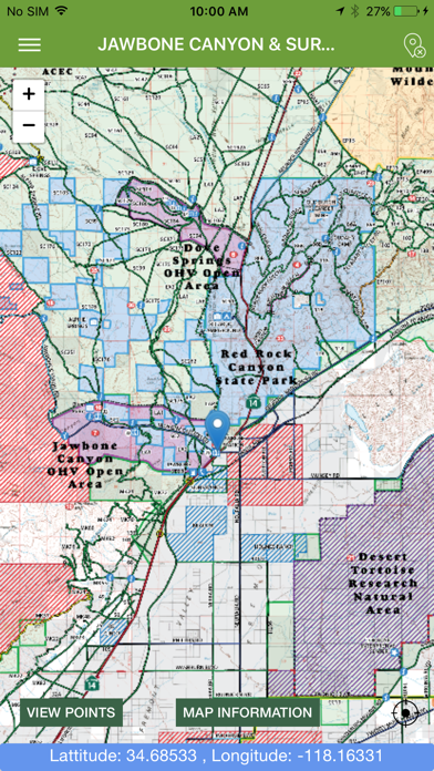


View the map in several zoom levels and navigate to popular destinations throughout California. The map covers 85 million acres of world-class OHV recreation lands from the sand dunes in the desert to the forests in the mountains, from the Colorado River to the Pacific Ocean. Depicted on the map are thousands of miles of legal, designated OHV roads and trails, as well as OHV Open Areas, wilderness areas, State Parks, military bases, and other public and private lands.
The map features backcountry motor vehicle routes designated by the BLM, USFS, NPS and other land management agencies.
Featured within the app are:
√ Street level background layer can be turned on or off
√ Zoom and scroll across the map
√ Find your location (iPhones and cellular iPads only)
√ Track your movement across the map (iPhones and cellular iPads only)
√ Find and navigate to hundreds of back country destinations and points of interests
√ Obtain emergency and other contacts
√ Find local services such as fuel, lodging and food
√ Learn area OHV rules, regulations, and safety tips
√ Legend of symbols on the map