iAIS
| Category | Price | Seller | Device |
|---|---|---|---|
| Navigation | Free | Digital Yacht Ltd | iPhone, iPad, iPod |


You can also display the AIS targets over your Navionics charts. With a one off In App purchase, iAIS can use all your existing Navionics charts with no additional charges for the charts.
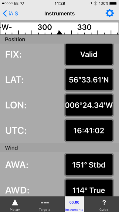
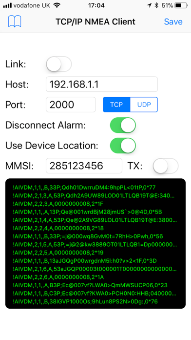
You can share your boat's live position, speed and course and be visible on other free internet based AIS apps and web sites like BoatWatch and MarineTraffic if you have a valid MMSI number for your boat.
In the US you can obtain an MMSI number for your boat by visiting http://www.boatus.com/mmsi.
In the UK visit https://www.ofcom.org.uk/manage-your-licence or email us for an internet only MMSI number.
Please note that continued use of GPS running in the background can dramatically decrease battery life.
NOT FOR NAVIGATION
iAIS should only be used for basic navigation reference and should not be solely relied upon to determine precise locations, proximity, distance, or direction.