
fieldSPoT
| Category | Price | Seller | Device |
|---|---|---|---|
| Navigation | Free | Resology Pty Ltd | iPhone, iPad, iPod |

fieldSPoT was designed and developed for those who have need to visit the field and reference or record new GIS data and photos while in the field.
Some key features of fieldSPoT include:
Import/Export – Import and export shape files, CSV and files via email, iCloud, Messages or your other favourite apps. Export your shape files and photo.
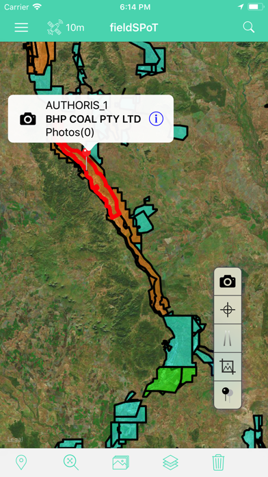
Point Recording - recording your current location and attach label to that point
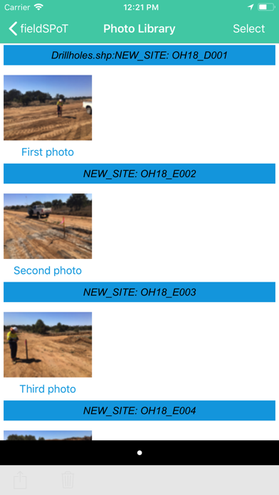
Photo Library – Take a new photo and associate it with a GIS object
Track Recording – record your path as you move relative to the GPS network
Search – Filter your GIS data based on a search parameter
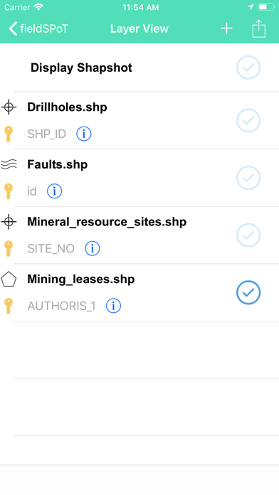
Layer List – see a list of all your GIS layers in one screen.
Attribute Viewing and Editing– view and edit all the metadata (attribute values) on a graphics object
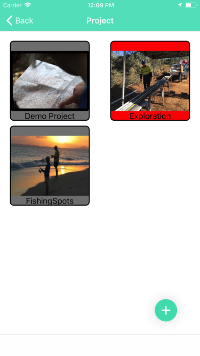
Project Management – create a new project so you can group related data.
Transformations – Supports use of 100’s of different coordinate transformation (e.g. GDA1994). All you need is an EPSG code (See www.epgs.io).
The uses of fieldSPoT are extensive and may include prospectors, geologists, environmentalists, surveyors of cultural artefacts, fisherman, real estate agents, tenement and property specialists, field technicians, urban planners etc.