Backcountry Atlas
Backcountry Atlas offers better topos for less.
| Category | Price | Seller | Device |
|---|---|---|---|
| Navigation | Free | RMM CADD SERVICES | iPhone, iPad, iPod |

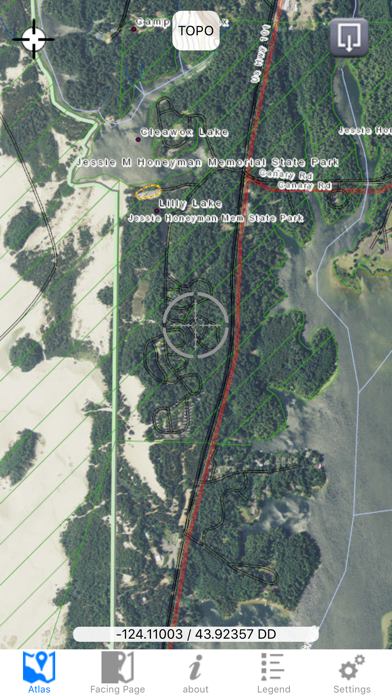
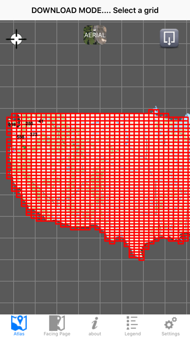

Other apps stream the whole country and charge customers for all that bandwidth. We prefer to offer maps as discreet regional downloads, so you only pay for what you use.
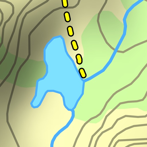
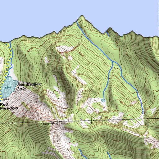
This lets us offer better maps. We add depth shading, color enhancements, and updates to the classic USGS Topos.
Additionally, we add useful data such as:
- Hiking and Biking trails
- Forest Service fire roads
- Other back roads
- New creeks, streams, and springs
- Land ownership boundaries
- Assorted points of interest
- And more
Please send feedback to [email protected], as we cannot reply directly to app reviews.