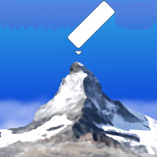
AR AlpineGuide
| Category | Price | Seller | Device |
|---|---|---|---|
| Sports | Free | Noriyoshi Tsunashima | iPhone, iPad, iPod |


- It has data from about 400,000 peaks around the world.
- It uses three-dimensional coordinates and a gyroscope to display the name at the peak, even if you tilt the camera. The display makes it easy to check.
- The three-dimensional terrain is displayed semi-transparently, so it is easy to compare it with the actual shape of the mountain and check the location of the peak.
- When you point your iOS device downward, the view switches to a 3D view looking down from the sky.
- You can check the names of the terrain and mountains that can be seen from any location specified on the map.
- You can take a photo with the name of the peak and share it via SNS or email.
- Swiping the AR display up, down, left, or right allows you to adjust the position of the peak name display.
- It is possible to adjust the position of the peak name display after the picture is taken.
- You can import photos taken with another app and add the peak name.
- All the features are free!
※ If the direction is not correct (e.g. it always shows North), if your iOS device has a cover on it If there is a sensor in the case, please remove it. The metal or magnet on the cover may interfere with the sensor and cause it to malfunction.